
In a world deeply reliant on GPS technology for navigation, disruptions in these systems can spell chaos. However, innovators are stepping up with an ingenious solution — the footprint navigation system. Imagine being able to navigate without the traditional reliance on satellite-based GPS, especially in situations where jamming is prevalent.
You Might Also Like


Understanding GPS Jamming
Global Positioning System (GPS) technology has become integral to our daily lives, from directing us on road trips to guiding emergency response units. GPS jamming, however, poses a significant threat. Whether intentional or accidental, jamming disrupts the signals transmitted from GPS satellites, rendering them inaccurate or useless. This is particularly concerning for sectors like aviation, military operations, and logistics. Enter the innovative footprint navigation system, designed to navigate through these challenges with ease.
What is a Footprint Navigation System?
Much like nature’s blueprint, the footprint navigation system relies on environmental cues and a variety of sensors to determine location and direction. This approach draws inspiration from how our ancestors navigated vast landscapes by observing the natural world around them. By utilizing a combination of technologies, this system offers a robust solution when traditional GPS fails.
The Technology Behind It
- Sensor Integration: The system integrates multiple sensors including gyroscopes, accelerometers, and magnetometers to provide real-time location tracking.
- Environmental Mapping: It utilizes pre-mapped environmental data, allowing it to navigate through familiar terrains even when GPS signals are unavailable.
- Signal Processing: Advanced signal processing algorithms help refine the location data, ensuring accuracy without satellite support.
How Does It Work?
The footprint navigation system operates on the principle of dead reckoning, similar to methods used by mariners before the advent of GPS. By continuously calculating one’s position based on a previously determined location, the system maintains navigational accuracy. Additionally, it employs environmental recognition patterns to adjust and verify positional data.
Applications of Footprint Navigation
Such a system holds potential across various sectors:
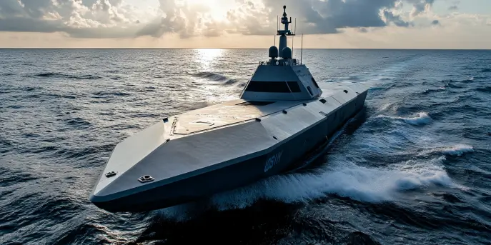
- Military: Enables operations in GPS-denied environments, enhancing operational security and effectiveness.
- Aviation: Provides redundancy for air traffic management during instances of GPS interference.
- Logistics: Ensures that goods continue to move even when GPS is unavailable, minimizing disruptions in supply chains.
- Emergency Services: Assists first responders in navigation during natural disasters or in urban centers where GPS signals may falter.
Big Picture Impact
The implementation of footprint navigation could dramatically reduce the vulnerability of our navigation-dependent systems to jamming and signal loss. By securing an alternative method of navigation, we not only enhance resilience but enable exploration in areas previously considered inaccessible. This approach further opens up possibilities for innovation in autonomous systems, where signal reliability is crucial.
The Future of Navigation
As we march forward in the realm of technological innovation, the footprint navigation system presents a vision of a future where navigation is not just satellite-reliant but diversified and resilient. Whether it is for military, civilian, or commercial use, the potential applications are vast and exciting.
| Feature | Description |
|---|---|
| Sensor Integration | Includes multiple sensors such as gyroscopes and accelerometers for precise tracking. |
| Environmental Mapping | Utilizes pre-mapped data to navigate in known terrains. |
| Signal Processing | Advanced algorithms refine data to ensure accuracy. |
| Dead Reckoning | Calculates current position based on a known past position. |
In a world where the reliable functioning of technology can never be taken for granted, the advent of the footprint navigation system is a stride toward ensuring navigational safety and reliability. This system doesn’t just work as an alternative to GPS; it enriches our understanding of navigation itself.


